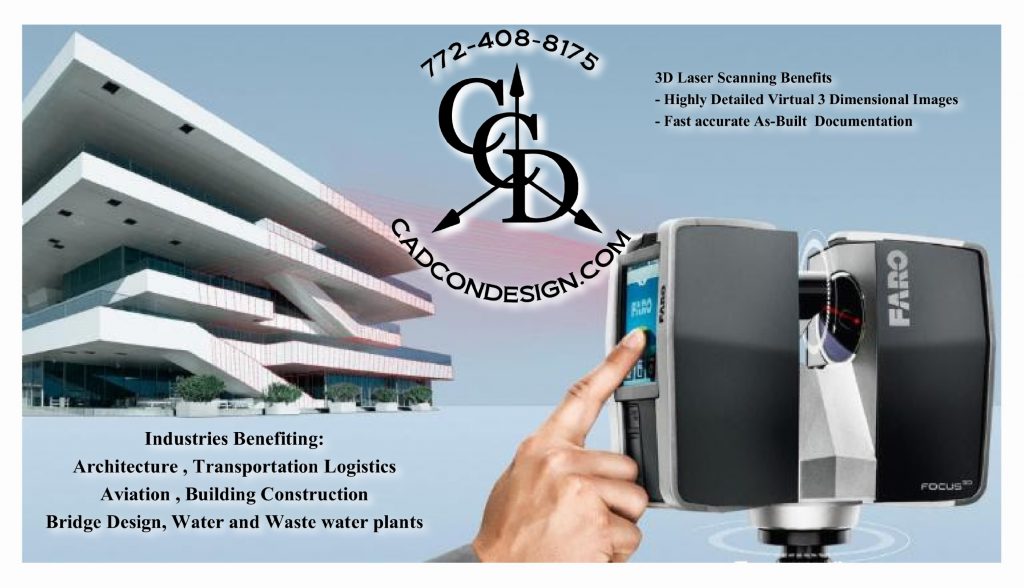
3D Scanning from Concept, Layout, Design all the way through to the inspection phase of a project, is an asset on all Architecture, Engineering, and Construction projects.
Cad-Con Design’s Laser scanning services can save you hundreds of hours and act as a fall back for missed data collection areas.
Our technicians have experience with Historic preservation, new construction, Renovations, Outdoor Site Data collection and inspections.
3D Laser scanning Services are an ideal 3D as-built documentation solution for all building projects.
Benefits of 3D Laser scanning Services:
- Offering a virtually unlimited environment Scan size.
- Our On-site 3D Laser scanning of your site can be achieved in broad daylight, the dark of night, indoors, and outdoors
- Fast Access to permanent records
- Collect a complete documentation of existing as-built site conditions
- Save time and cost by reducing your time with measurement devices and cameras
- Collect data from hard to reach or unsafe heights and locations
- 3D Scan and replicate crucial details and sites conditions
- Verify existing architecture of floors, walls, Buildings, Bridges etc.
3D Laser scanning Deliverables:
- Point Cloud Data
- Elevation Drawings
- Plan View Drawings
- 3D CAD Models
- BIM Integration
- As-built Documentation
- Accurate Fly-through and presentation Videos
- 2D-Sections and .Dwg or .Dxf file Export
We can provide your Business with fast accurate as Built Documentation with the 3D focus laser scanner
See our videos below

Call Cad-Con 772-408-8175
3D Scanning Provides fast accurate As Built Documentation
From architects to interior designers 3D laser scanning from Cad-Con provides valuable data in a deliverable which is easily imported into almost any CAD software. This data is made up of millions of 3D points of measure, in full color. Whether you are tearing down walls, or simply changing basic trim and room designs, having accurate building plans in 3D gives your company the ability to easily and accurately create your project in your computer, allowing for pre cutting, pre assembly and therefore very little down time when creating the finished product.
Click the links below for videos.
The Focus 3D, utilizing non-contact laser technology, generates highly detailed virtual three-dimensional images of complex environments and large scale geometries in a matter of minutes.
The resulting 3D image of the Focus 3D is a collaboration of millions of 3D measurements providing an accurate digital documentation of as-built conditions. Scanning at the blistering rate of 976,000 points per second with a reach of 120m, the Focus 3D offers the most efficient method for recreating the real world and defining it within a virtual space.
Most importantly traditional measuring methods such as tape measures, laser range finders, digital cameras and total stations require more effort and risk to ensure a pure data capture. Besides that the Focus 3D Laser Scanner provides exact measurements in three dimensions right at your fingertip.
One of the brightest spots in geospatial technologies is the continuous development of 3D laser scanning.
The world as we know it today is evolving from 2D to 3D. Industries and users who traditionally work with two-dimensional plans and schematic diagrams are increasingly discovering the advantages of three-dimensional planning and documentation tools. With the continuous advancements in 3D software programs, the FARO Focus 3D provides instantaneous high resolution imagery with extreme clarity and full color.
